
Surveillance
Analyze satellite views or drone footage to extract meaningful information. From helping farmers predict droughts to monitoring car traffic on city streets.
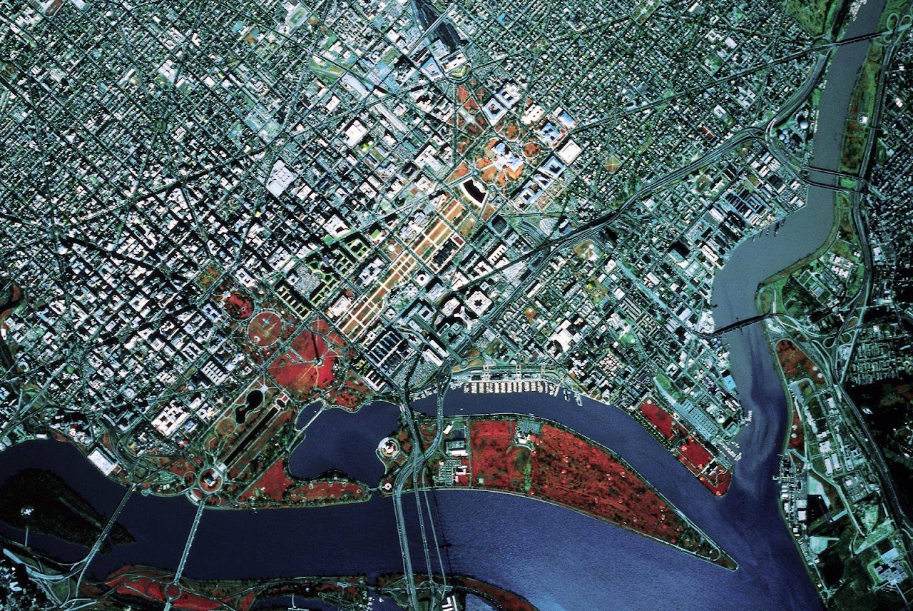
Satellite Imagery Analysis
We live in an era of global climate change. Melting glaciers, rising sea levels, deforestation, drought in agriculture — these are problems where machine learning algorithms can help people analyze data and take further preventive measures.
Machine learning solutions have been successfully applied to help farmers, industries, cities and households use resources more efficiently. Unlock data from satellite and aerial imagery. Learn to detect and track the size of solar panels, vehicles, buildings or coffee fields in satellite images.
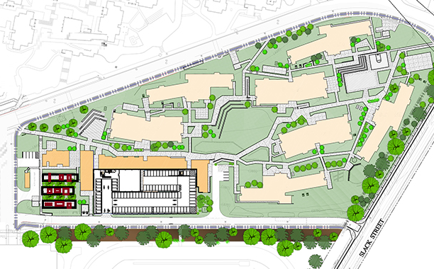
Buildings & Nature classification
Knowing what percentage of a particular view contains forests, industrial areas, agricultural areas, and more — so your company can make a feasible decision.
Buildings
- RED ROOF — 99.33%
- GREY ROOF — 98.41%
- GREEN GARDEN — 97.20%
- GARDEN TREES — 87.74%
- POOL — 77.10%
- PAVED ENTRANCE — 74.59%
- ROAD — 52.36%
Nature
- SEA — 58.80%
- BEACH — 51.41%
- GRASS — 42.58%
- FORREST — 16%

Security Camera Notifications
Track time. Surveillance cameras from satellite landscape to parking lot. Use machine learning solutions to gain insights and track common patterns about specific areas in a timely manner.