Medical imaging pipelines
Automated cell segmentation, spot counting, and gel electrophoresis analysis for diagnostic tools.
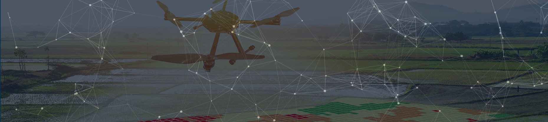
Programmable AI drones do more than show camera feeds — they observe surroundings, map areas, track objects, and provide real-time feedback for civil engineering and agriculture.

Advanced programmable platforms such as the DJI Matrice series are essential for firefighters, farmers, and livestock managers. Visive’s machine learning practice focuses on programmable AI drones wherever they create leverage — computer vision that maps, tracks, and feedbacks in real time.
Topographic maps matter in agriculture and civil engineering. One Visive solution helps construction firms reconstruct 3D models in CAD. The challenge: take recorded or live feeds from 3D cameras and LiDAR, then convert them into standard datasets any CAD system can use to rebuild the world in 3D.

A drone with 3D camera and LiDAR flies the area of interest — pre-programmed path or manual navigation along the road/track.
Sensors broadcast live or store onboard. 3D camera provides video; LiDAR provides point clouds — both geo-tagged with time.
The system creates map data from point clouds and textures using geographic coordinates and time — heights, bumps, and surface objects.
Computer vision recognizes road boundaries; prepared data is written in formats specific third-party CAD systems consume.
Automated cell segmentation, spot counting, and gel electrophoresis analysis for diagnostic tools.
Vehicle counting and type classification with deep learning.
Multi-mode identity with fine-grained vehicle brand/model and person recognition.
HOG+CNN face systems and predictive churn models for data-driven retention.
Full aerial AI platform
AI dronesAutomation solutions hub
Robots & dronesOn-device vision inference
Edge analyticsDrones and AI belong together for real-world problem solving. With advanced programmable platforms, it is unsurprising they appear from firefighting to farming. Visive’s machine learning practice focuses on programmable AI drones wherever they create leverage: not only capturing what cameras see, but acting intelligently after observing surroundings — drawing area maps, tracking moving and static objects, and providing real-time feedback.
For civil construction clients, the high-level flow is deliberate. A drone fitted with a 3D camera and LiDAR detector flies the area of interest on a pre-coordinated path or under manual navigation. It travels along the road or track, records from both sensors, and either broadcasts live or stores onboard. Camera data is the video source; LiDAR is the point cloud; both are geo-tagged with time. Downstream systems fuse geographic coordinates and timestamps into map data with heights, bumps, and surface objects. Texture informs object and surface boundaries. Computer vision recognizes road boundaries. Outputs are written in formats specific CAD systems consume to reconstruct the world in 3D.
We offer clients the opportunity to create their own machine learning applications on top of this pipeline — and we connect terrain programs to a broader portfolio spanning medical imaging, traffic analysis, drive-thru authentication, face recognition, churn prediction, and speech products like Converse Smartly.